Dear Reader (2024-04-16)
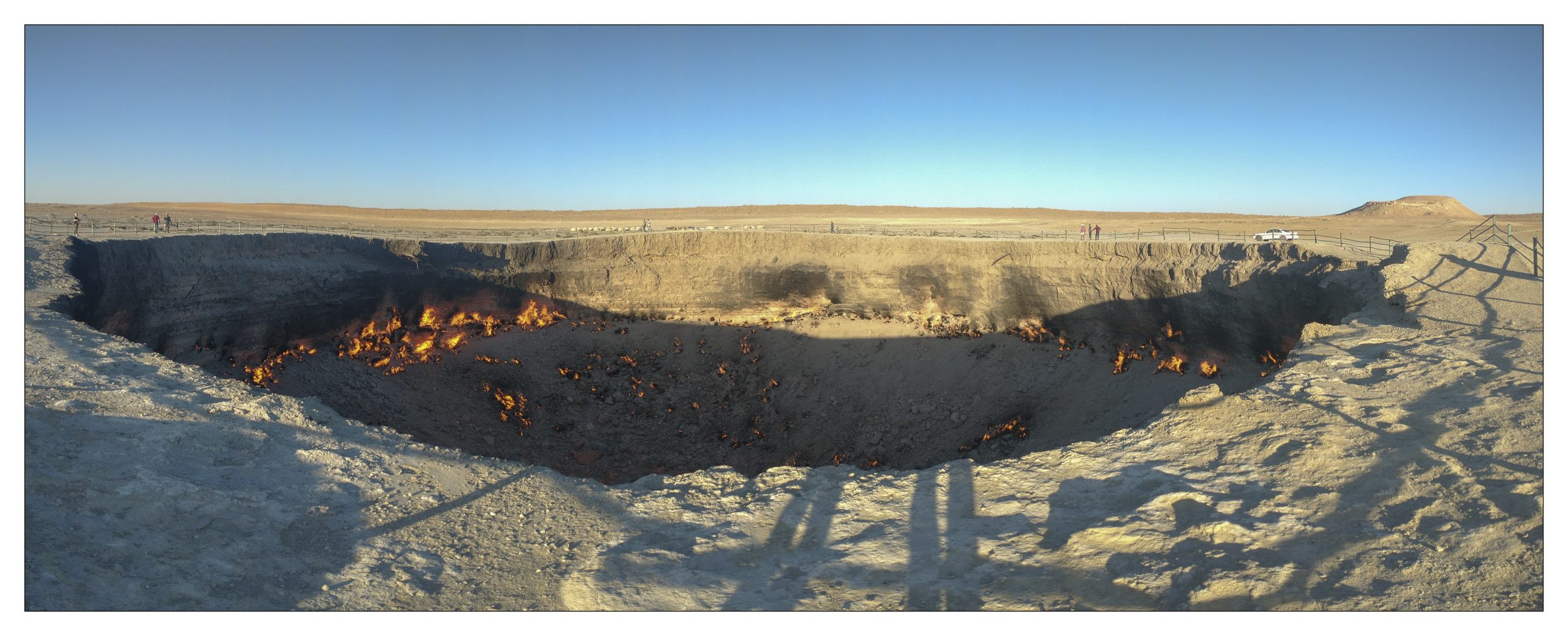
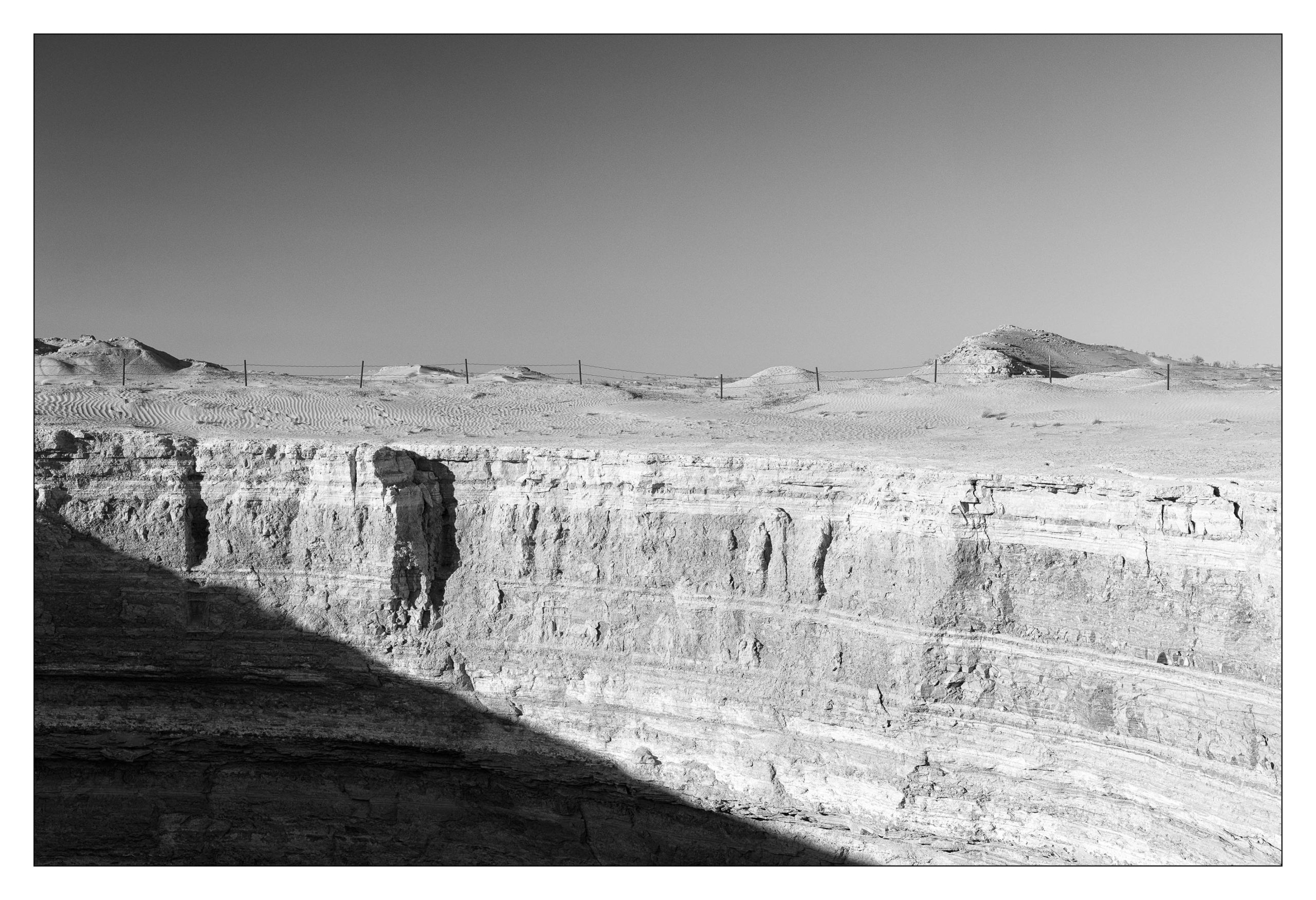
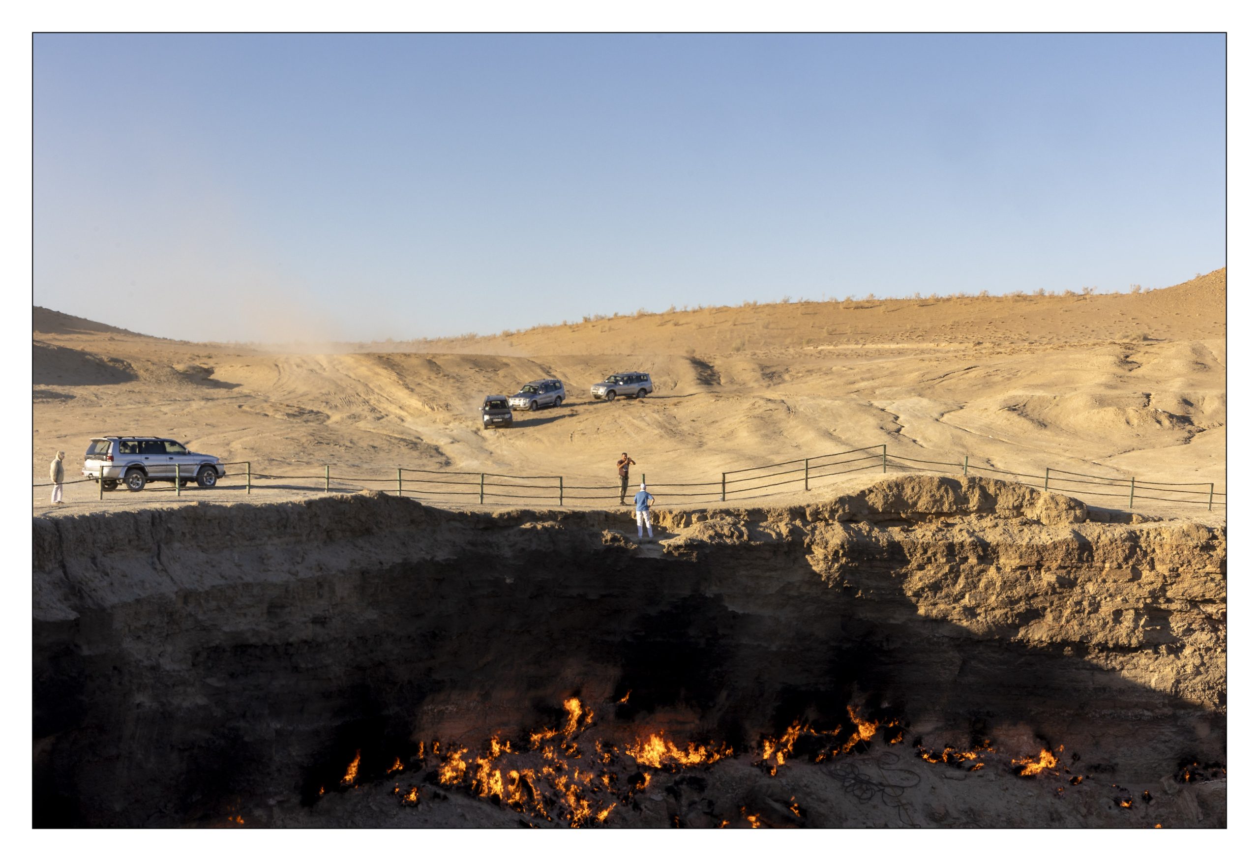
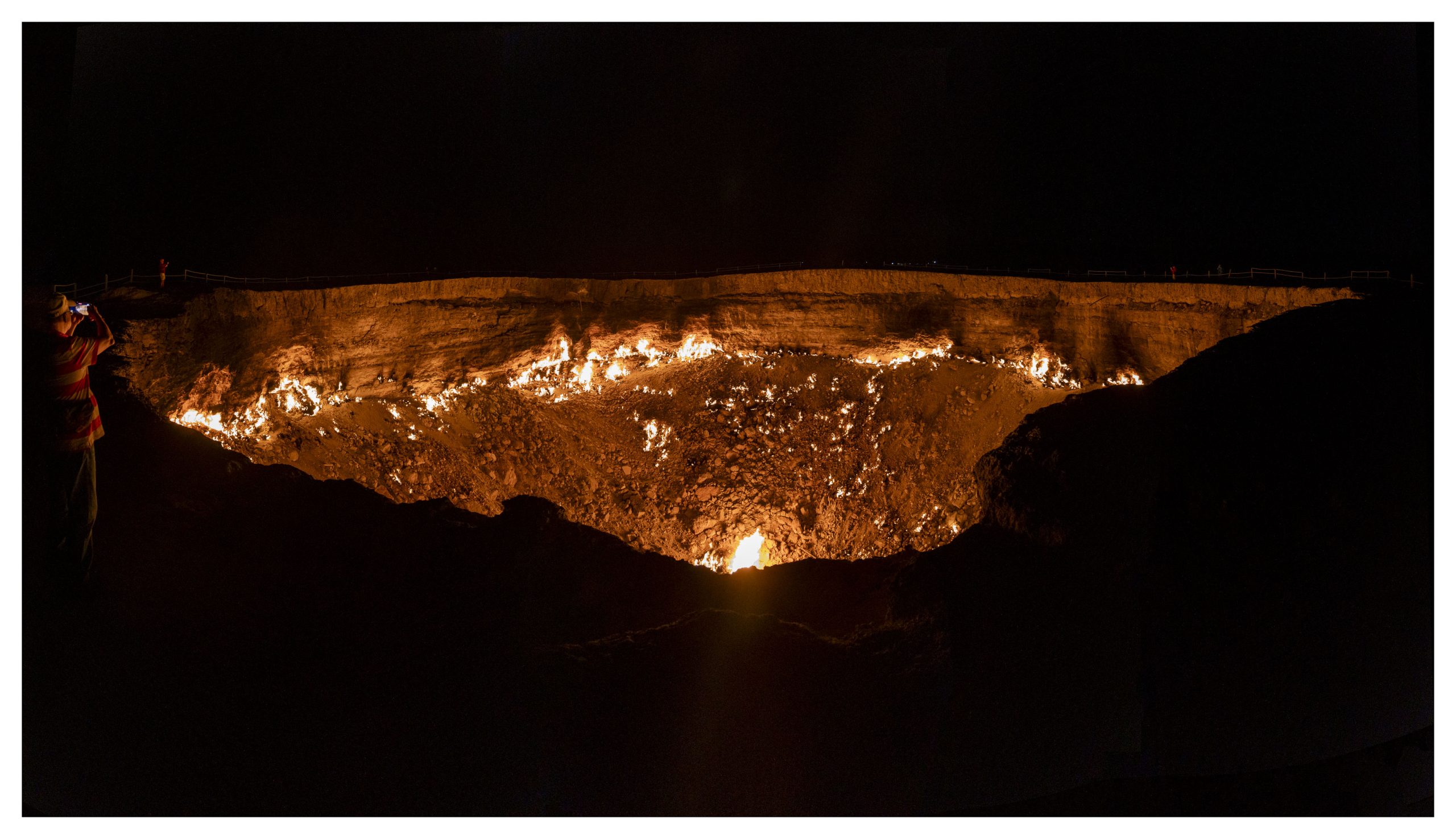
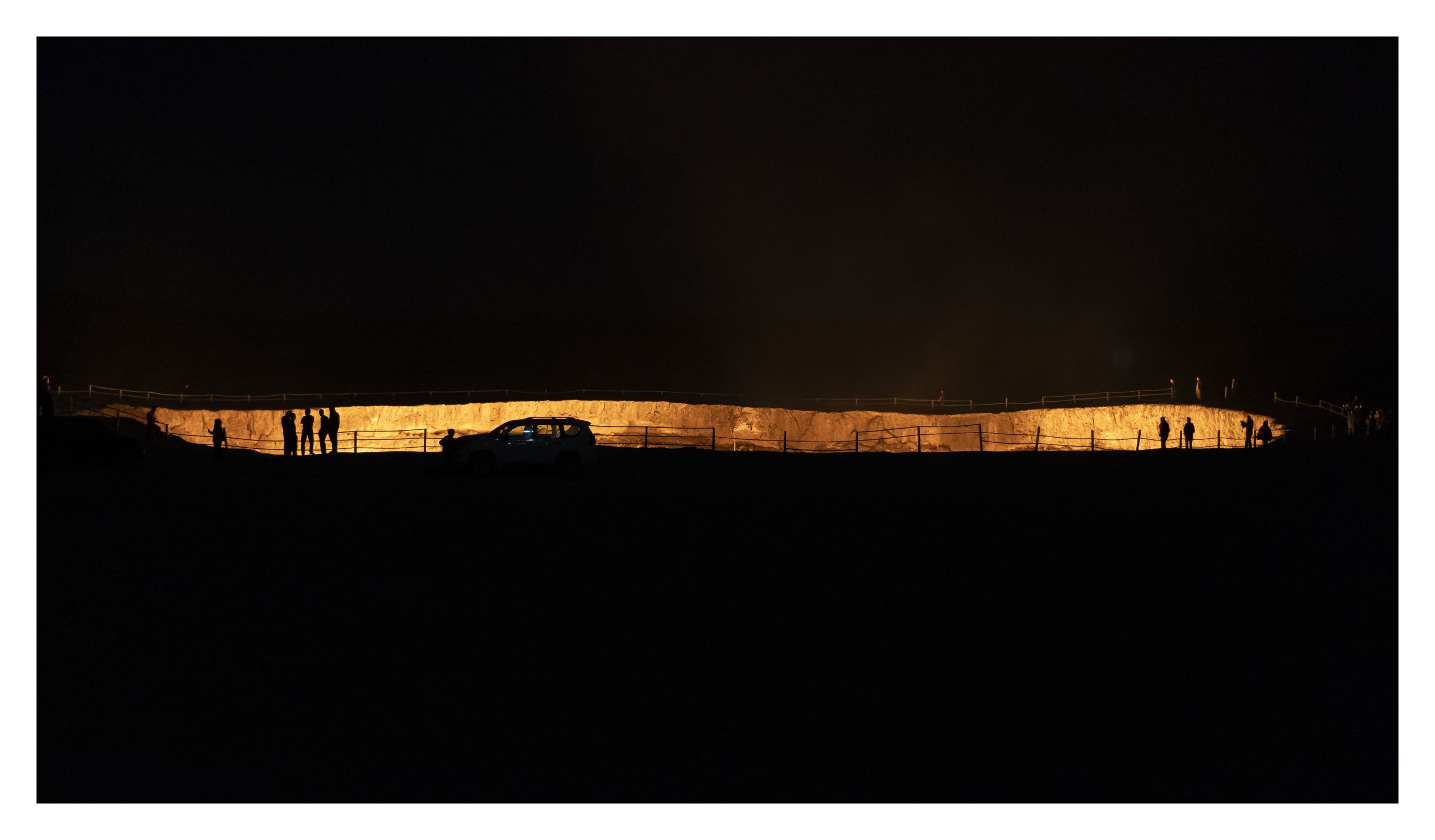
“In 1971, when Turkmenistan was still part of the Soviet Union, a group of Soviet geologists went to the Karakum (Desert) in search of oil fields. They found what they thought to be a substantial oil field and began drilling. Unfortunately for the scientists, they were drilling on top of a cavernous pocket of natural gas which couldn’t support the weight of their equipment. The site collapsed, taking their equipment along with it—and the event triggered the crumbly sedimentary rock of the desert to collapse.” [1] In an attempt to get rid of the gas it was lit, and it has been burning ever since, consuming over a US $1 million of gas a week (according to some people). Thus was born the Darvaza Crater, which is also known as “The Door to Hell,” or “The Gates of Hell”. The oval shaped crater has a diameter of 60–70 meters (200–230 ft) and has a depth of about 30 meters (98 ft).
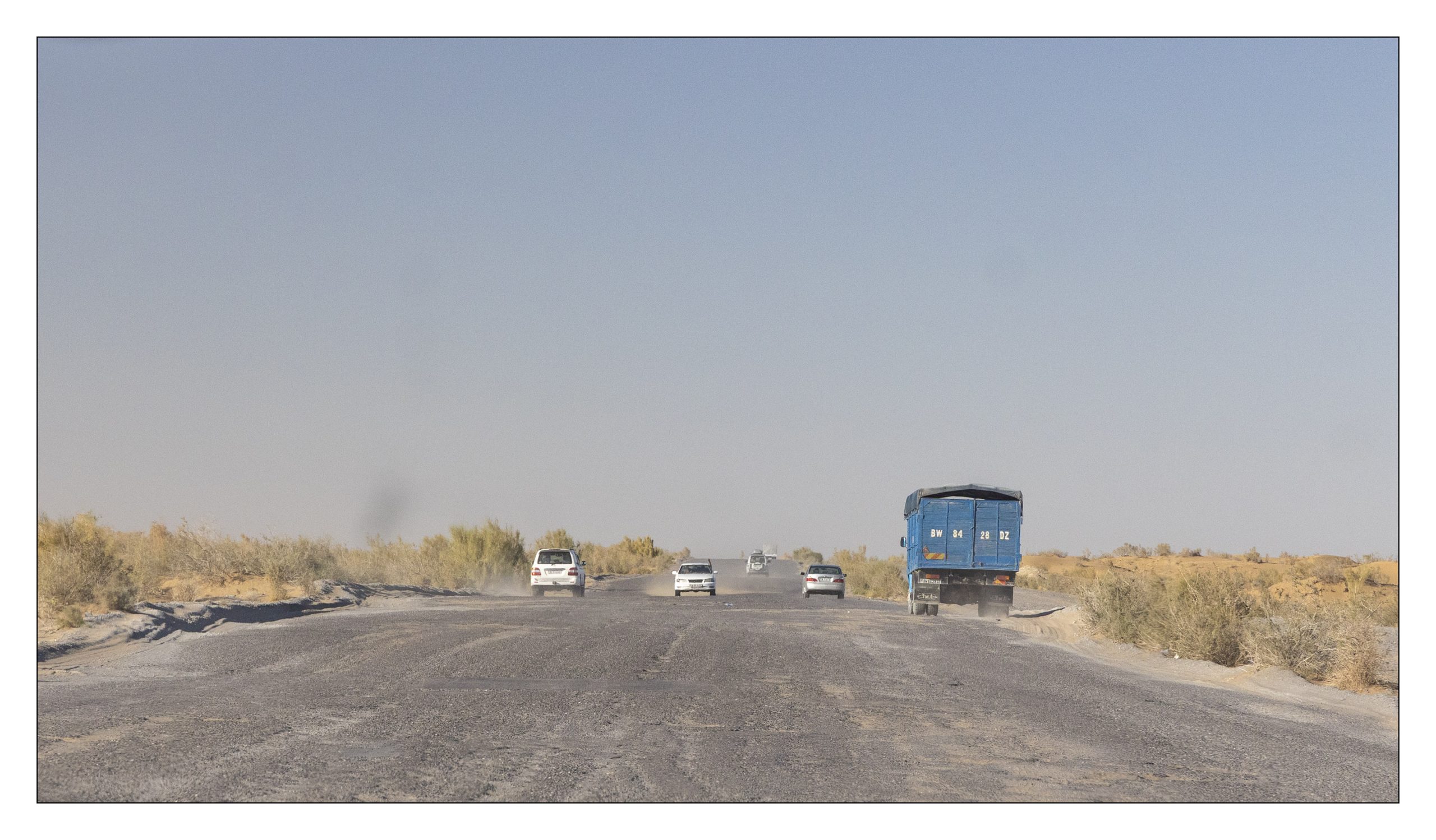
Located about 260 km north of Ashgabat, “the Gates of Hell” appears on a number of 10 most dangerous places in the world to visit. The danger is twofold. The location itself is a nightmare for even the most poorly trained OHS (Occupational Health and Safety) person. The other danger is associated with getting there. We have already seen the complicated entry process (Five Stans 26) to get into Turkmenistan. Then there is the somewhat paved surface on which vehicles weave.
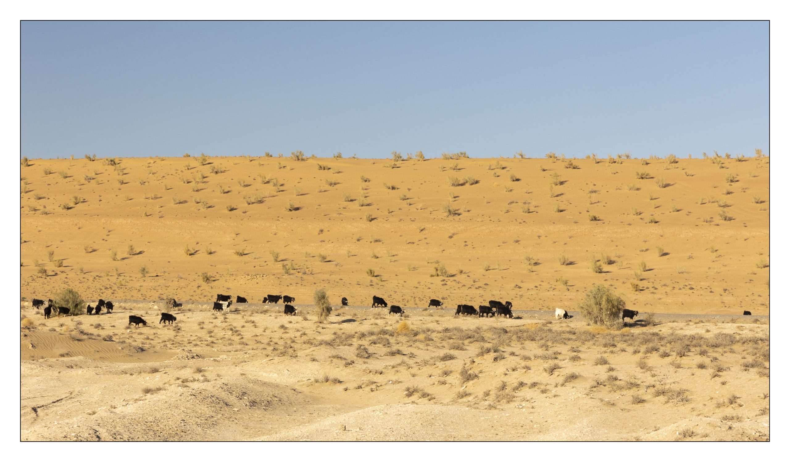
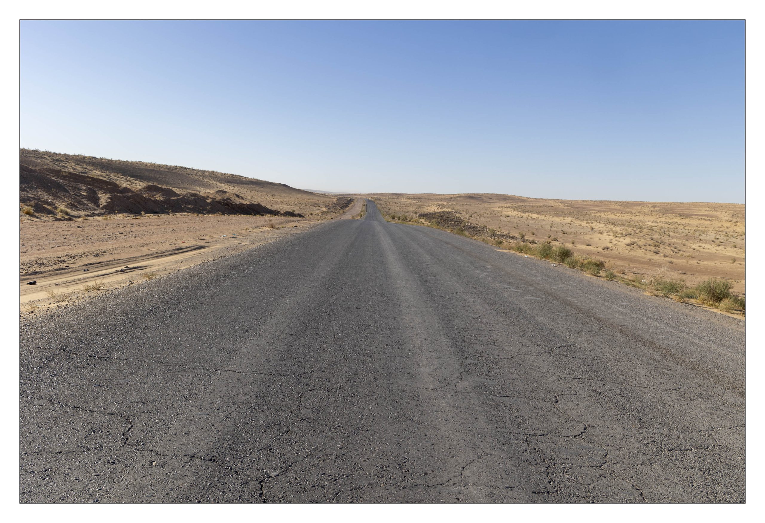
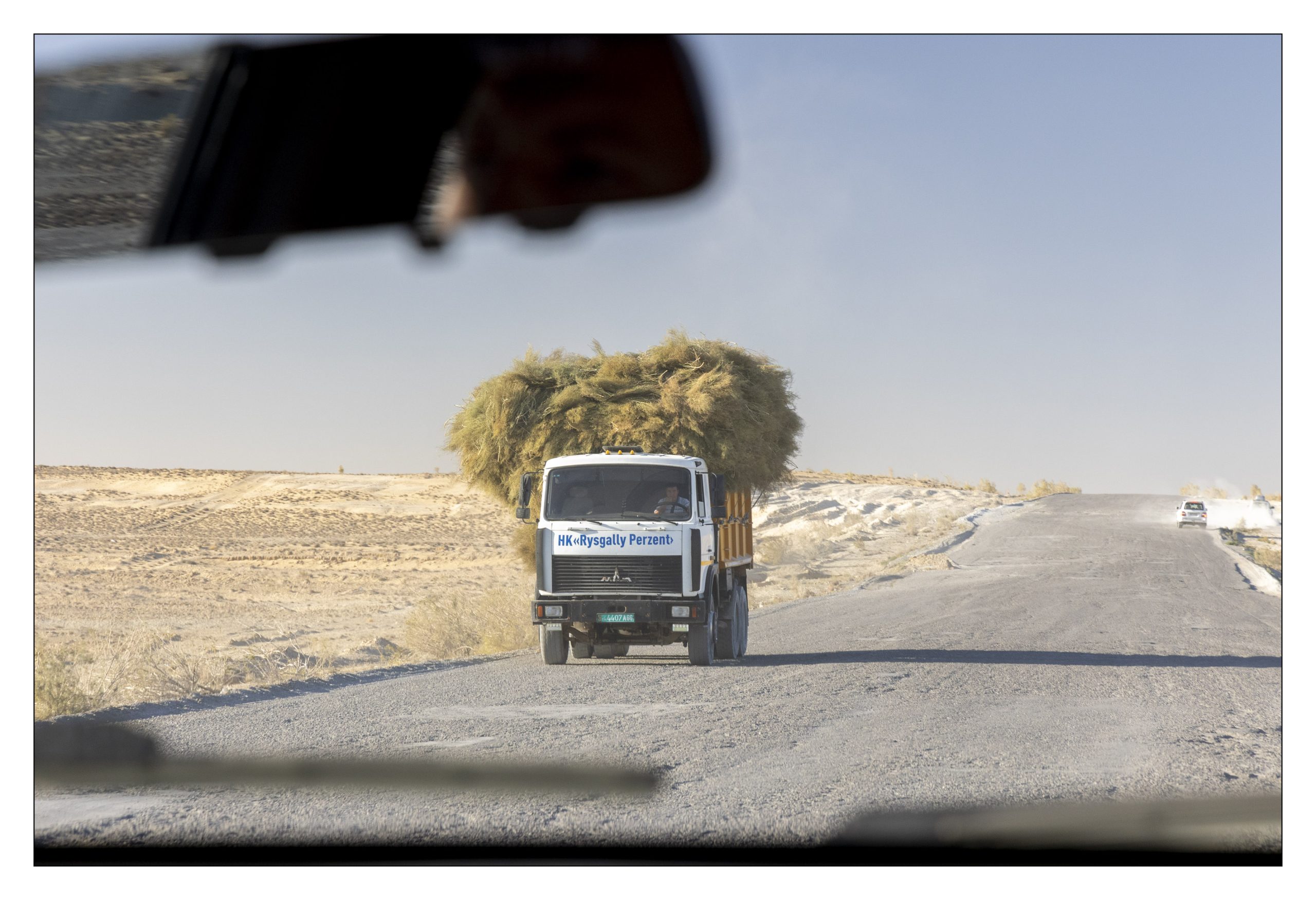
In Ashgabat, we switch from our 15-passenger bus to a trio of Jeeps all with reinforced suspension. We are a group of 7 travelers, a tour guide, and a local guide. For over 4 hours our amazing drivers pick a route in 100-meter increments navigating sand, ruts, and potholes. Sometimes we are on the left side of the road. Sometimes we are on the right side. Sometimes a patch of desert is smoother. Every other vehicle, regardless of direction of travel, is doing the same. Our drivers stop at least once an hour to rest their minds. At one point our driver puts on AC/DC’s Highway to Hell (mobile phone played through car speaker system).
Erbent
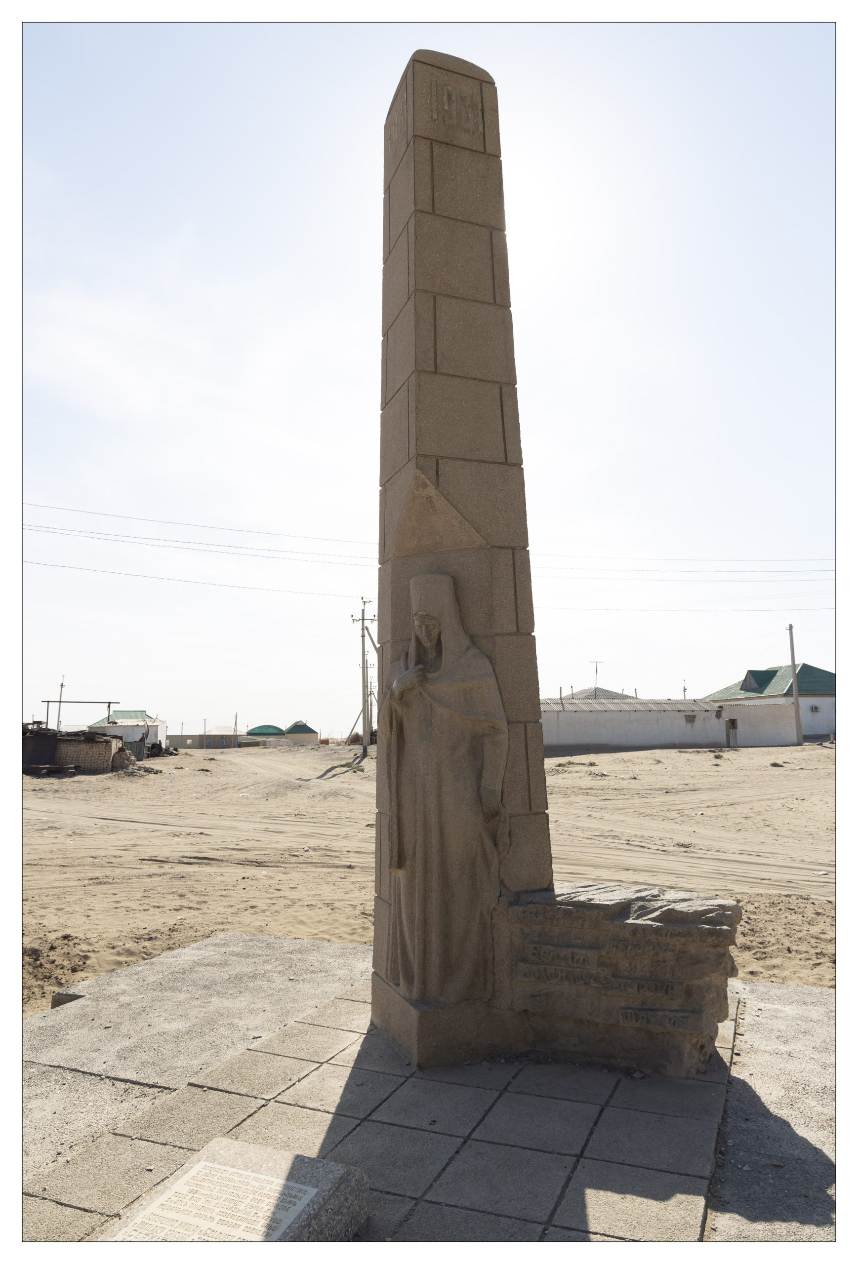
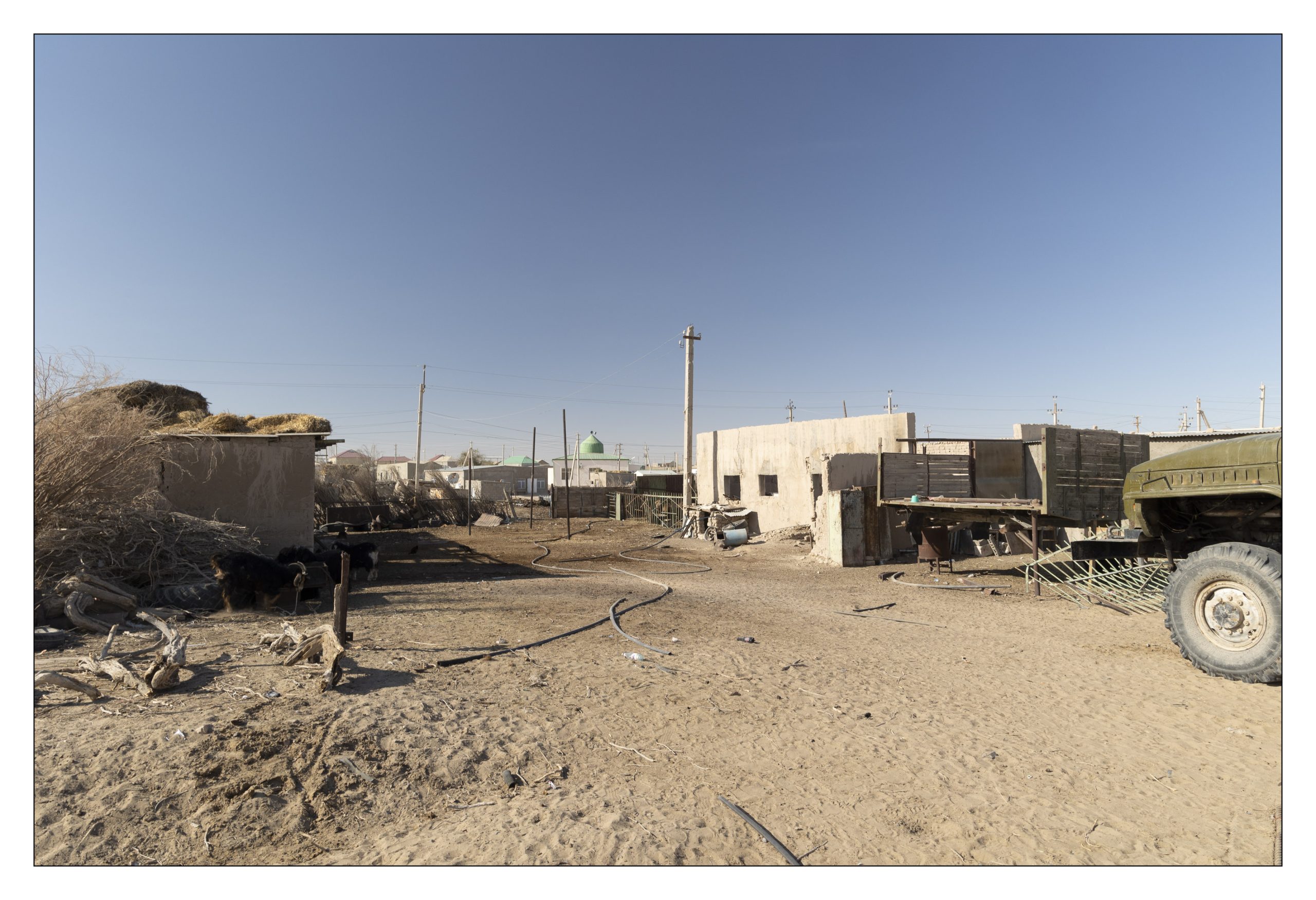
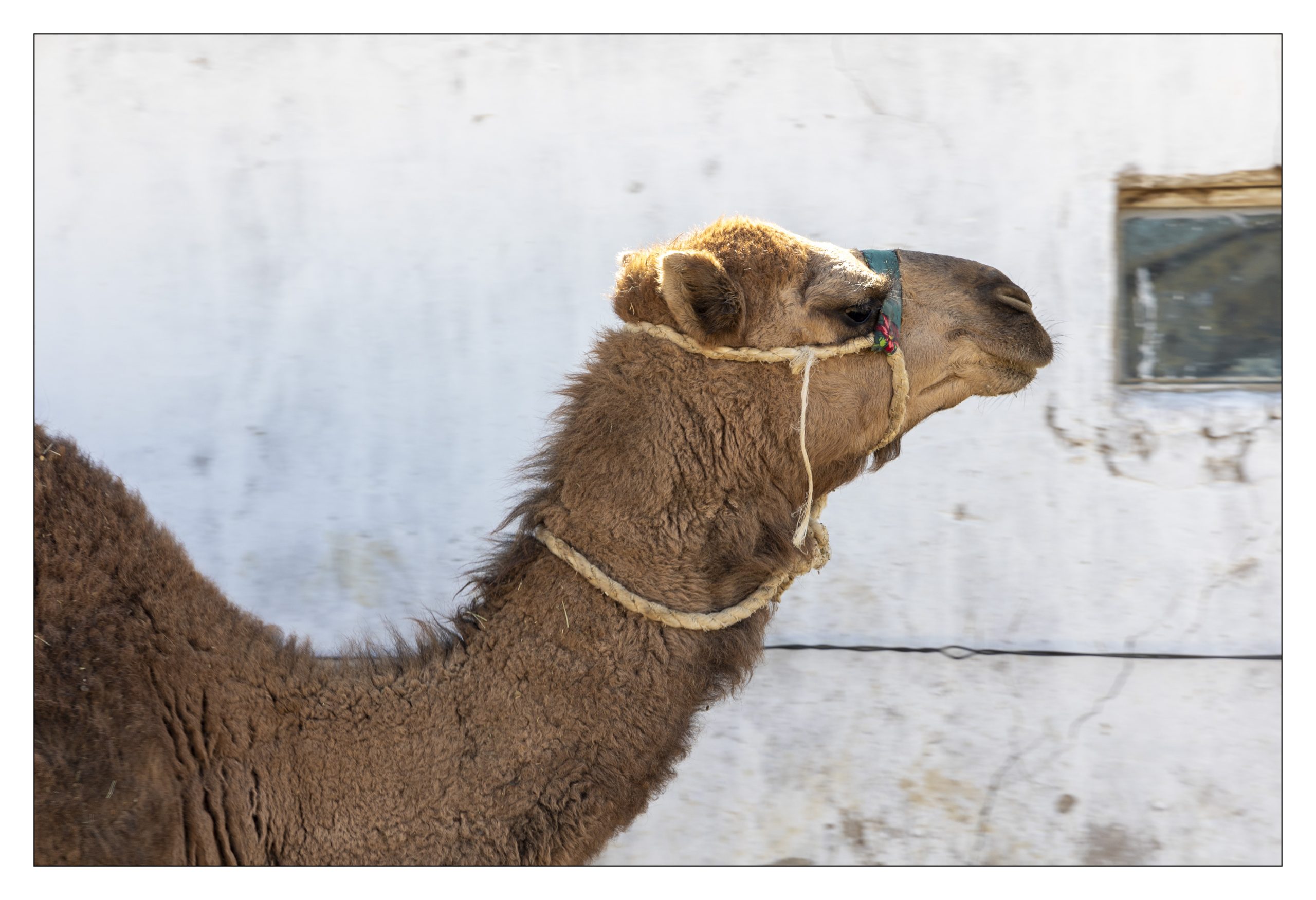
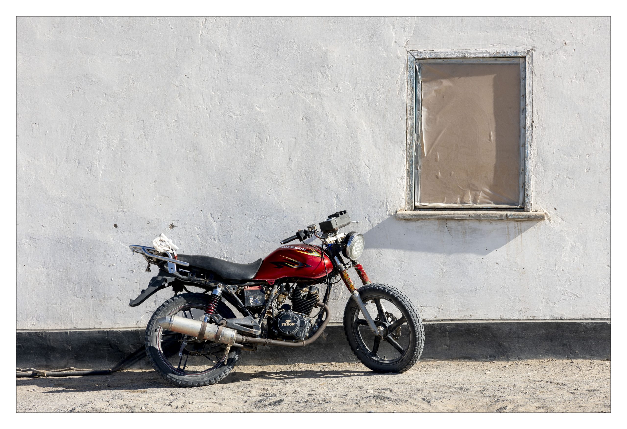
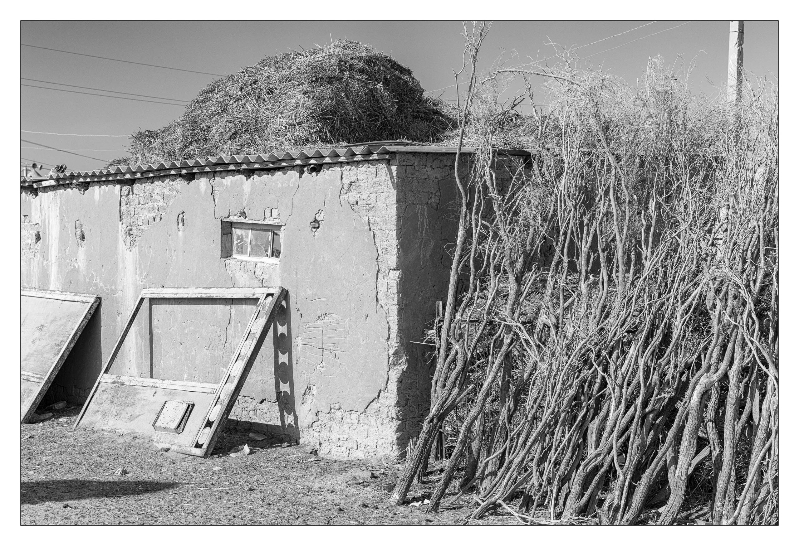
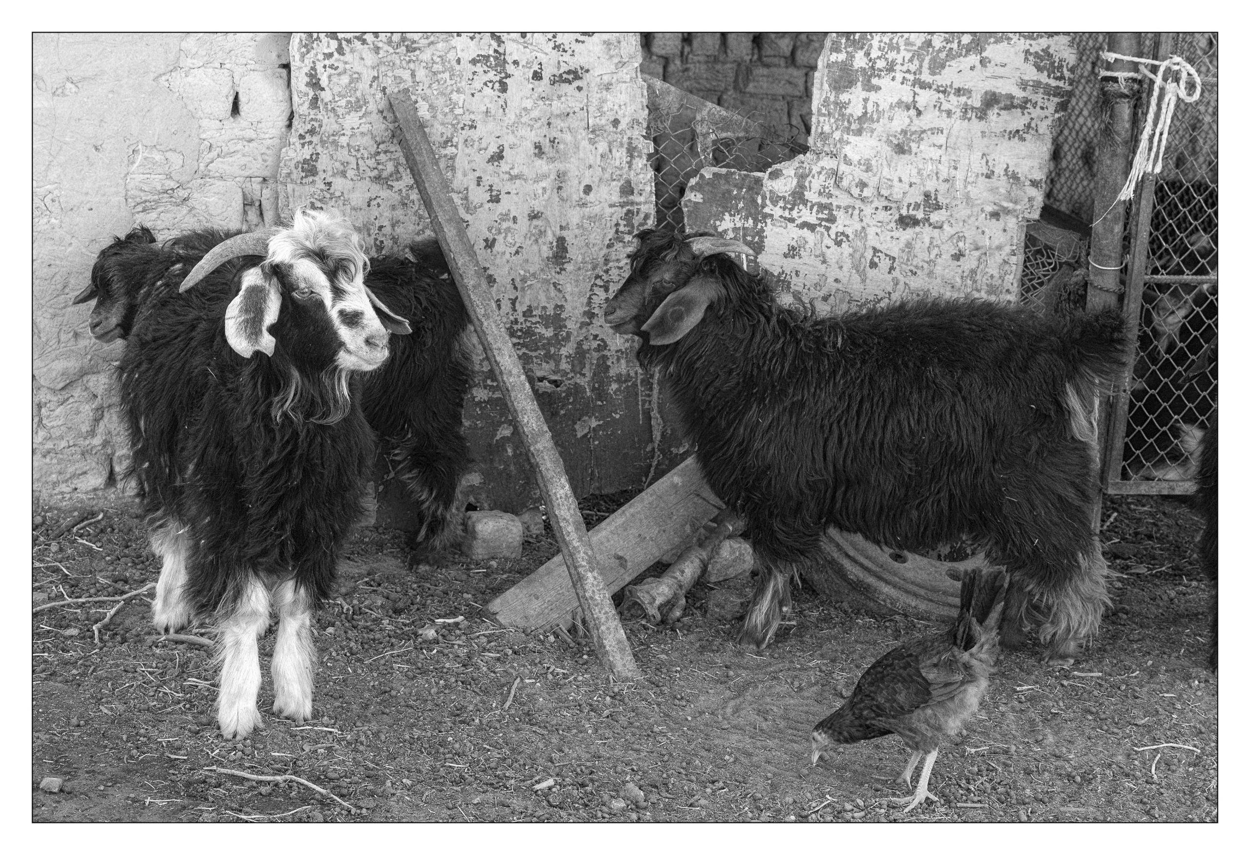
Between Ashgabat and the crater, we stop at the village of Erbent. “The village is located in the Karakum Desert. … It is the largest settlement on the road between Ashgabat and Daşoguz, which are located near the southern and northern border of the country respectively. … A pastoral economy has resulted in the desertification of surrounding areas. … The village remains a popular destination aimed at providing tourists with an “authentic experience” of life in the Karakum Desert.” [2]
“A Soviet-era monument in the village (ed. Erbent) center—featuring a Turkmen lady with a hung head—commemorates the death of 11 men who fell during the 1931 Basmachi Revolt in their quest of ensuring the “triumph of socialism, realization of dictatorship of the proletariat, and collectivization of agriculture.”[2] I will leave it to you to go down the “Basmachi Revolt” rabbit hole. I’ve already been there, and I saw Alice again.
At this stage of the voyage, I have been away from home for nearly four weeks, and as much as I appreciate our guides’ presentations, I am not particularly receptive today. Instead, I go off to explore.
Good-bye Turkmenistan, Hello Uzbekistan one more time.
After spending a night near the crater, we have a shorter and slightly less crazy drive to the Turkmenistan / Uzbekistan border. It is easier to leave Turkmenistan than to enter it – there was still a bus ride or two.
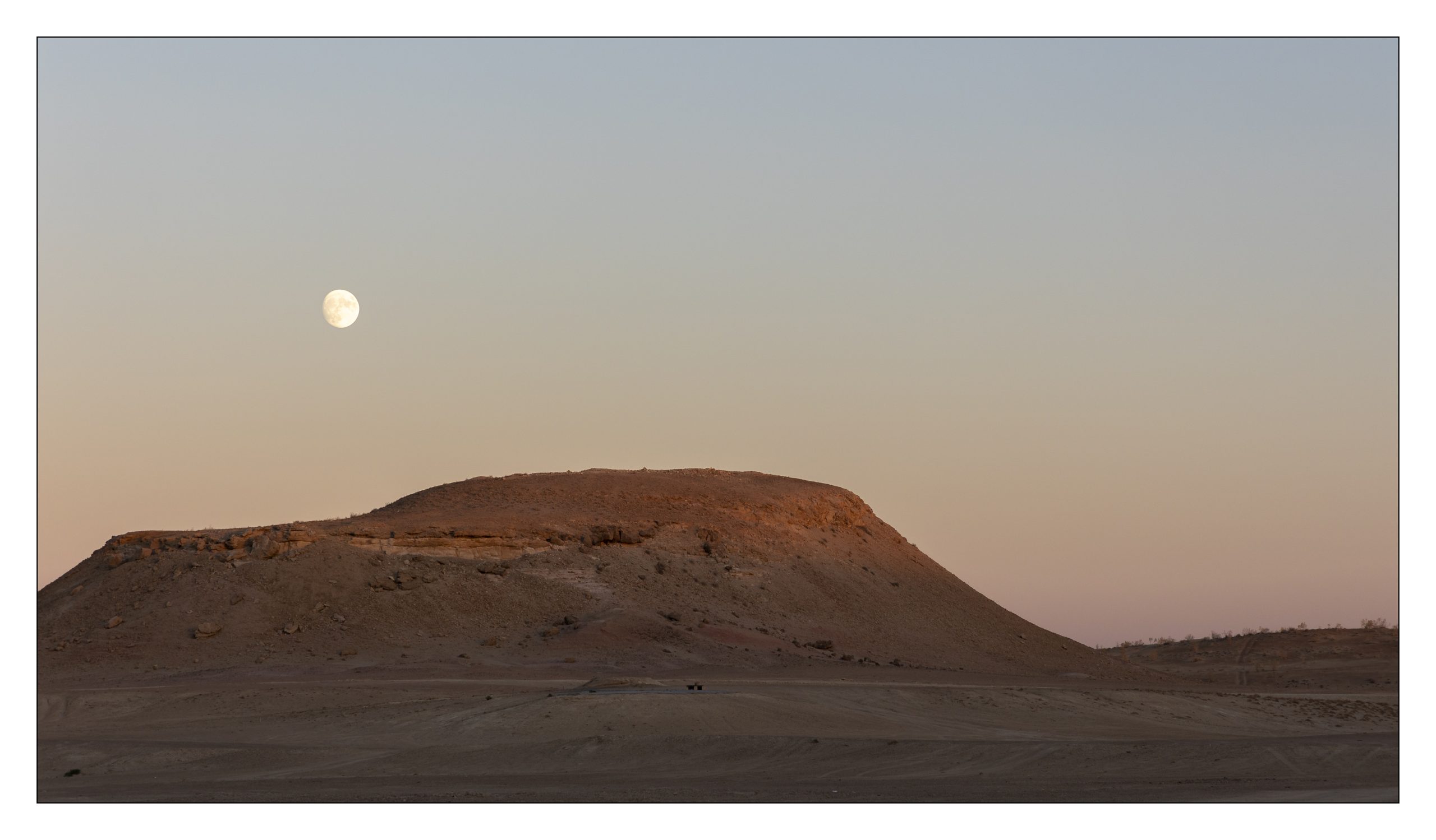
Title Image
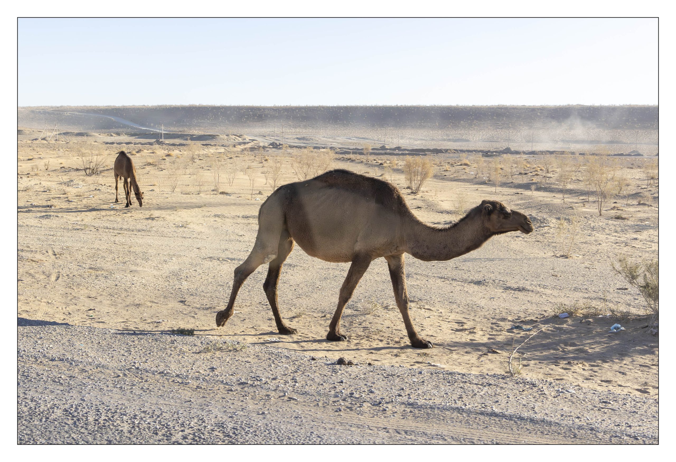
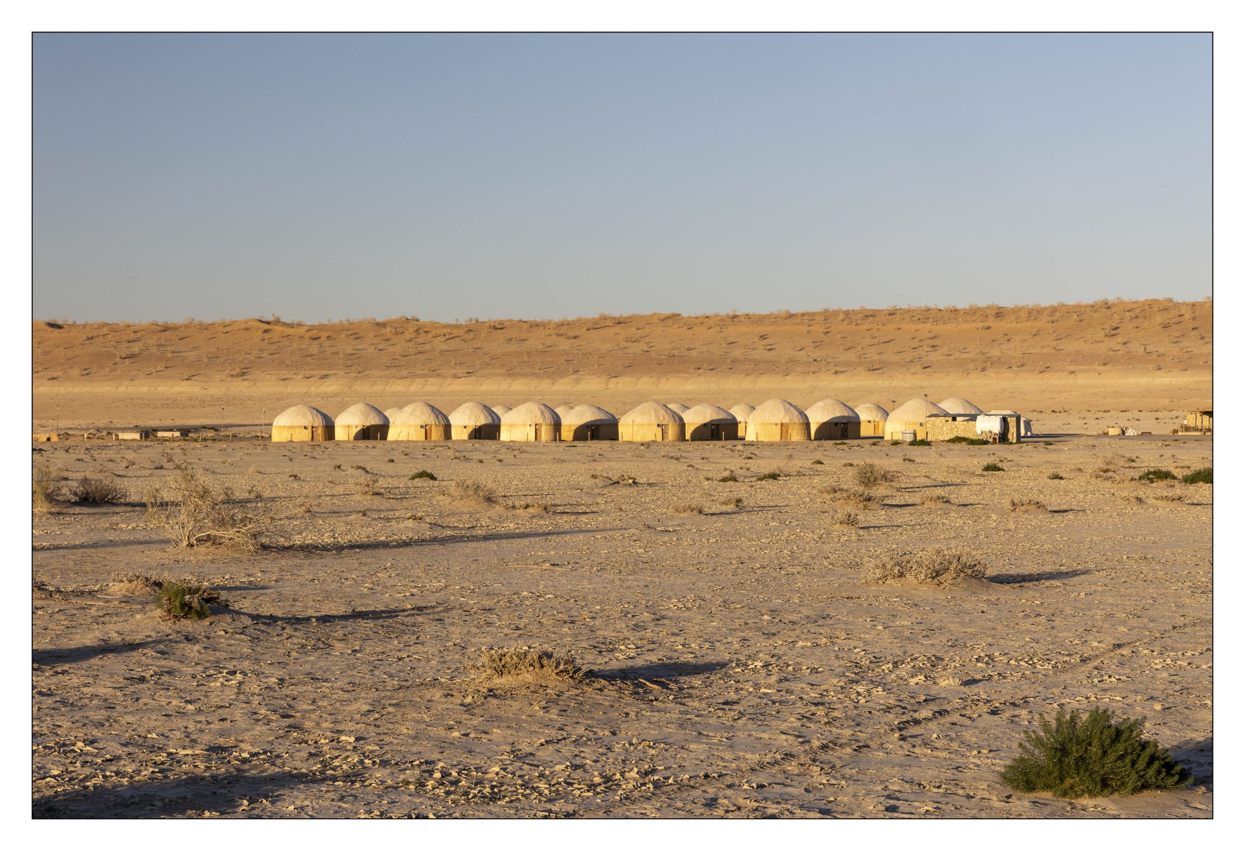
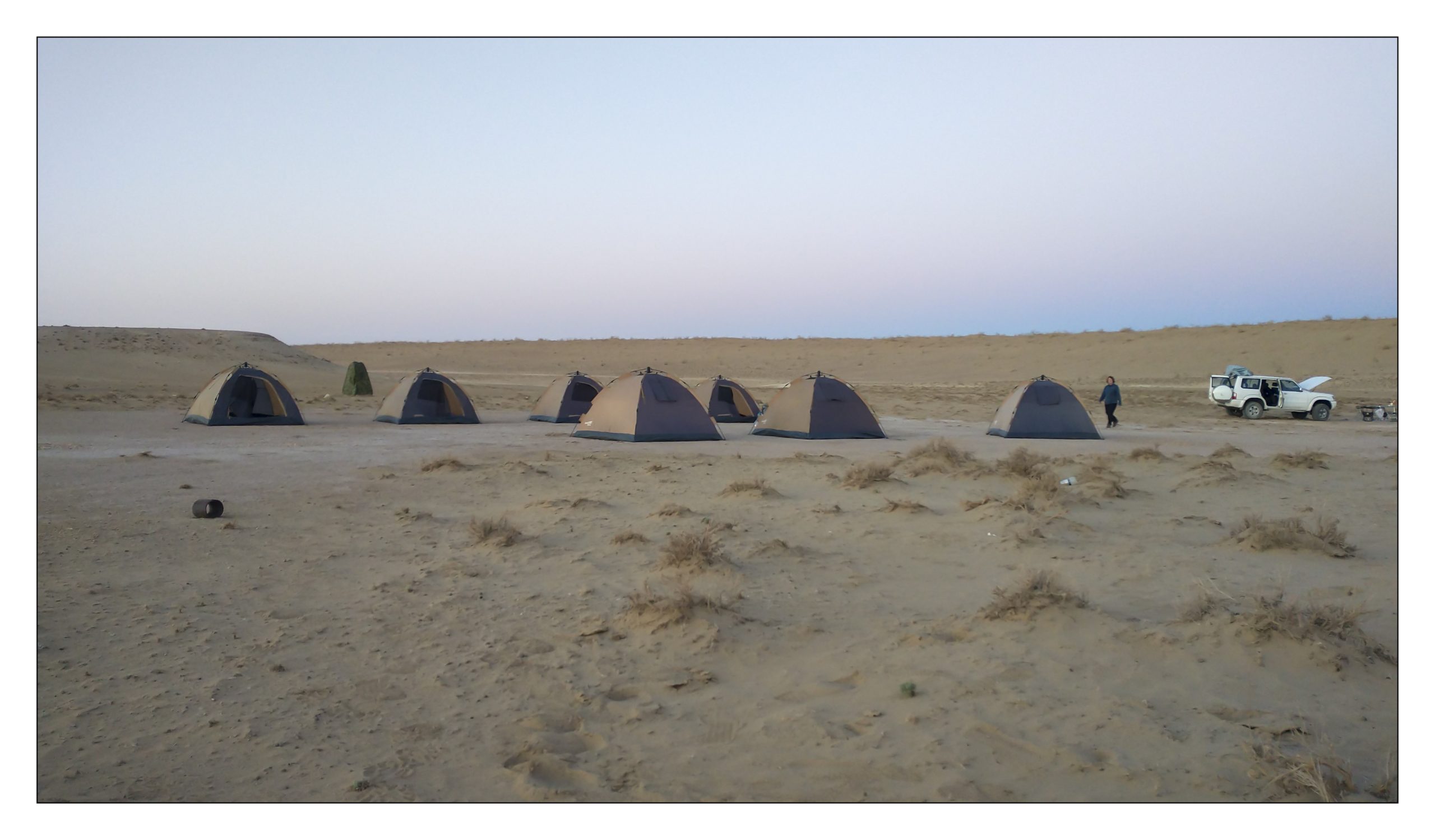
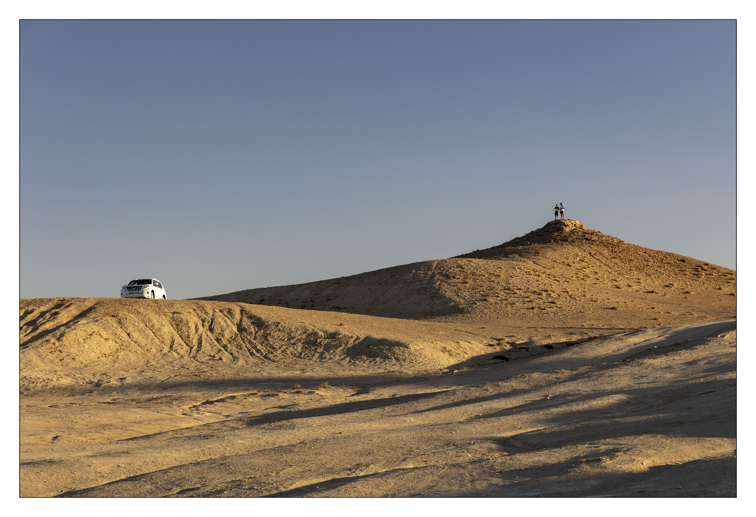
Off in the distance there is a yurt camp for tourists. Our campsite for the night was set-up by our drivers in area to the right of the hill, beyond the smell of methane. Our accommodations for the night were tents, sleeping pads, and sleeping bags. Rather than sleeping in tents two of us choose to sleep under the stars. I have visions of being woken by camels, even though no sane camel (are there insane camels) in its right mind would be found anywhere near the crater.
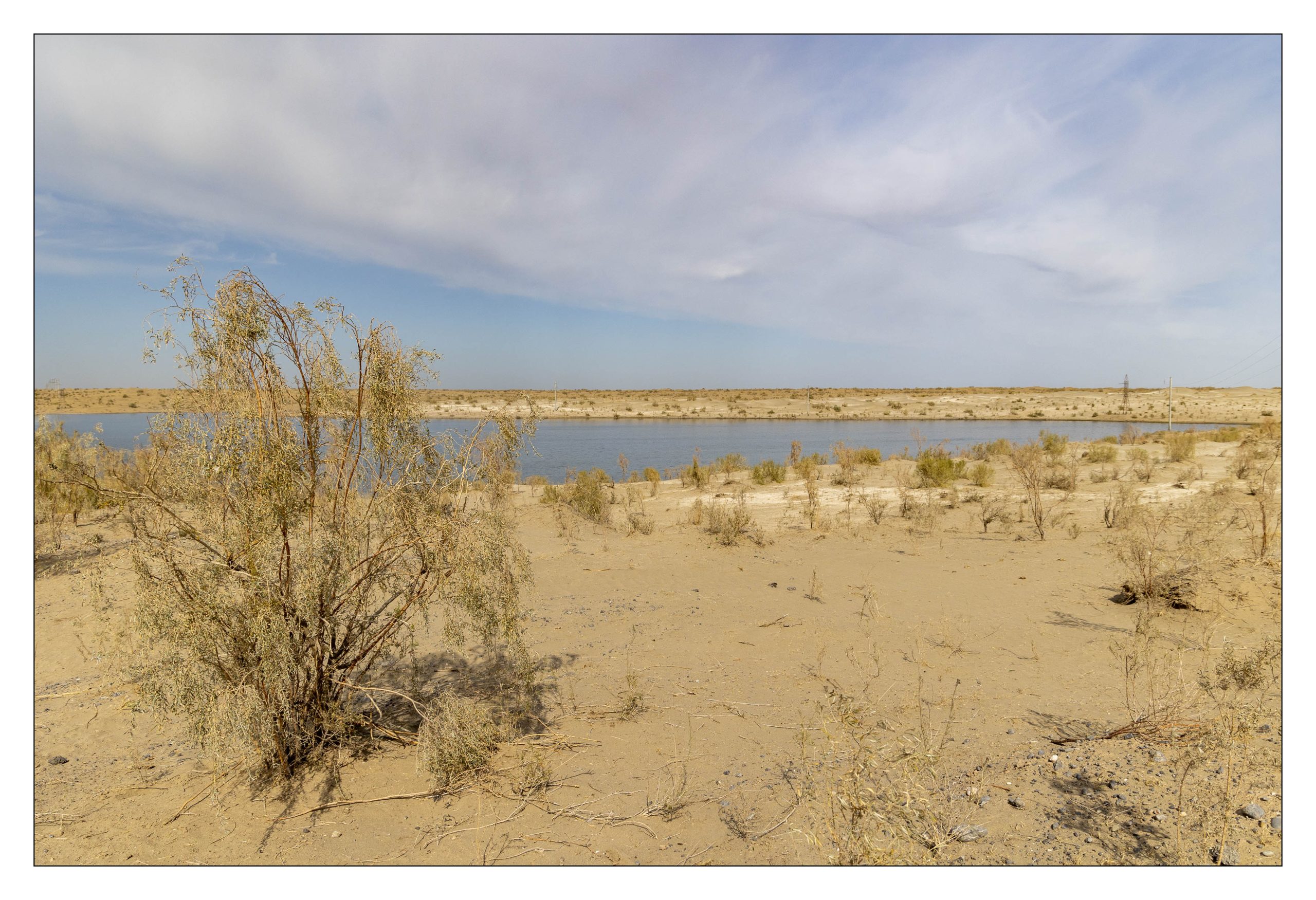
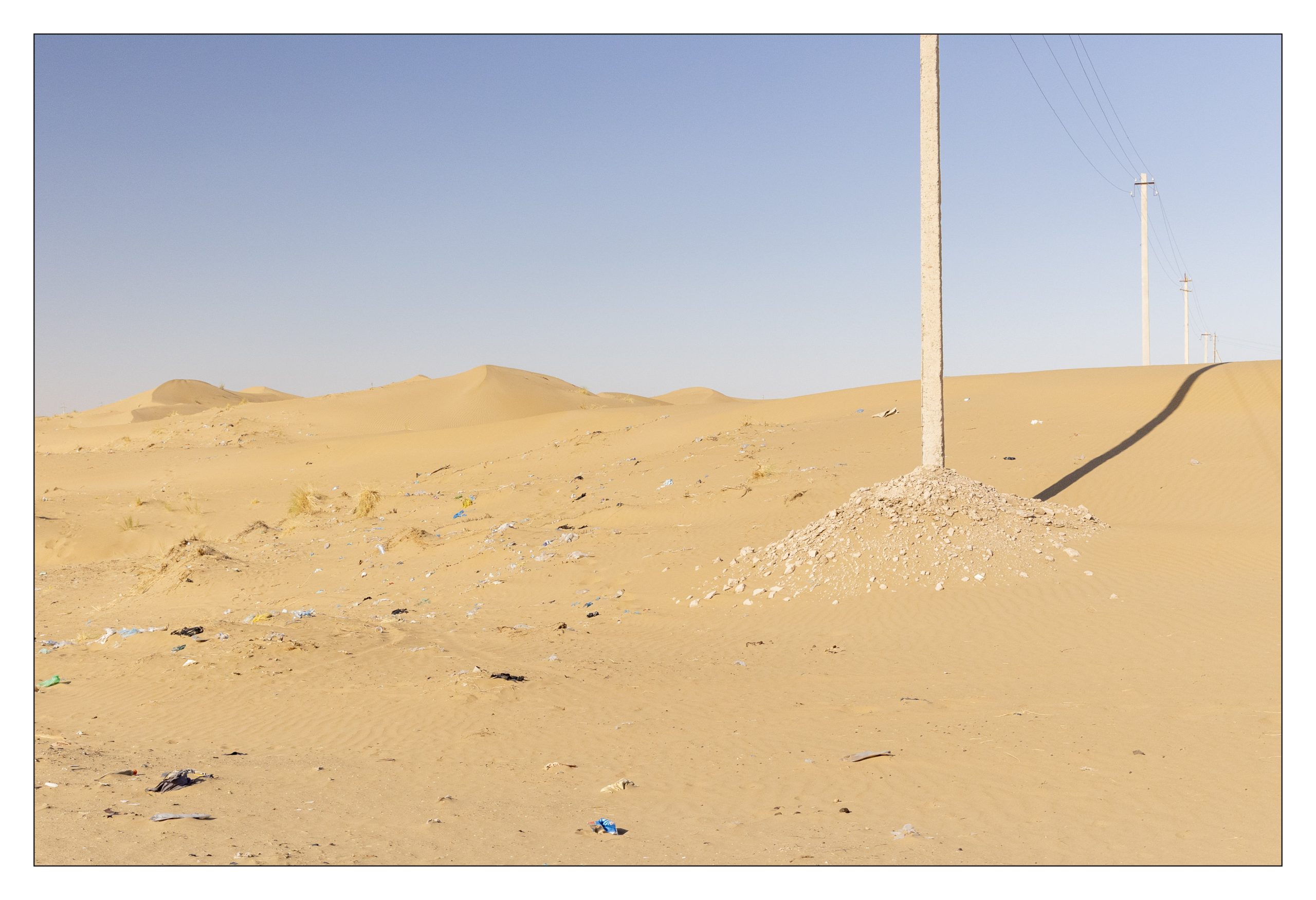
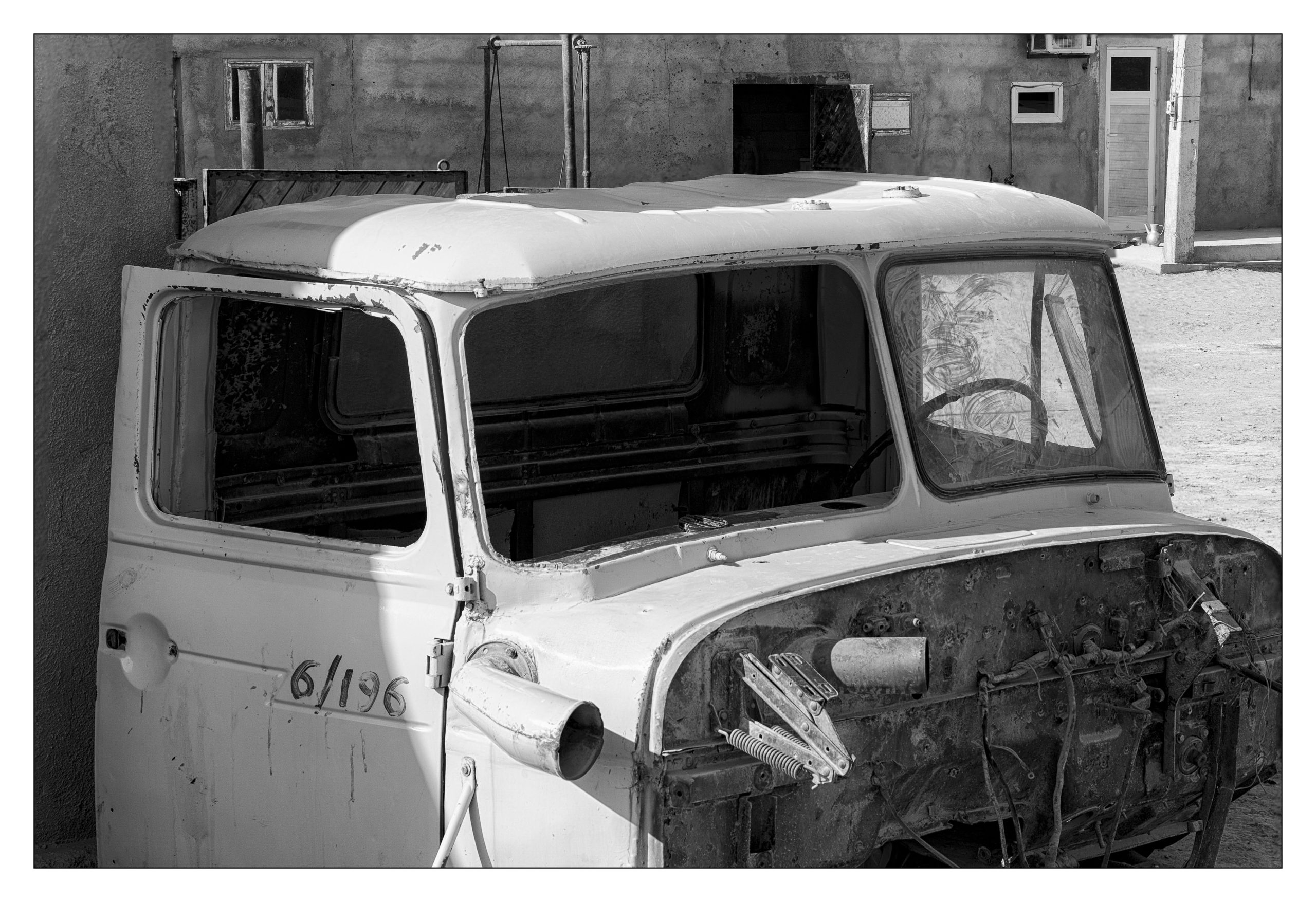
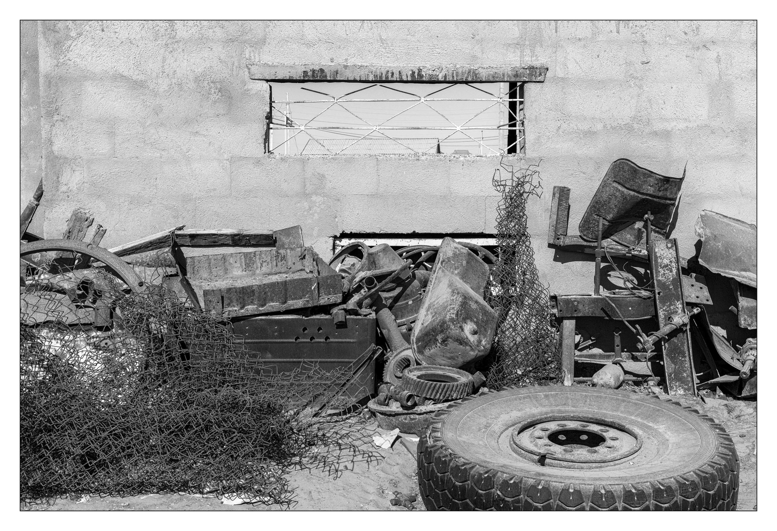
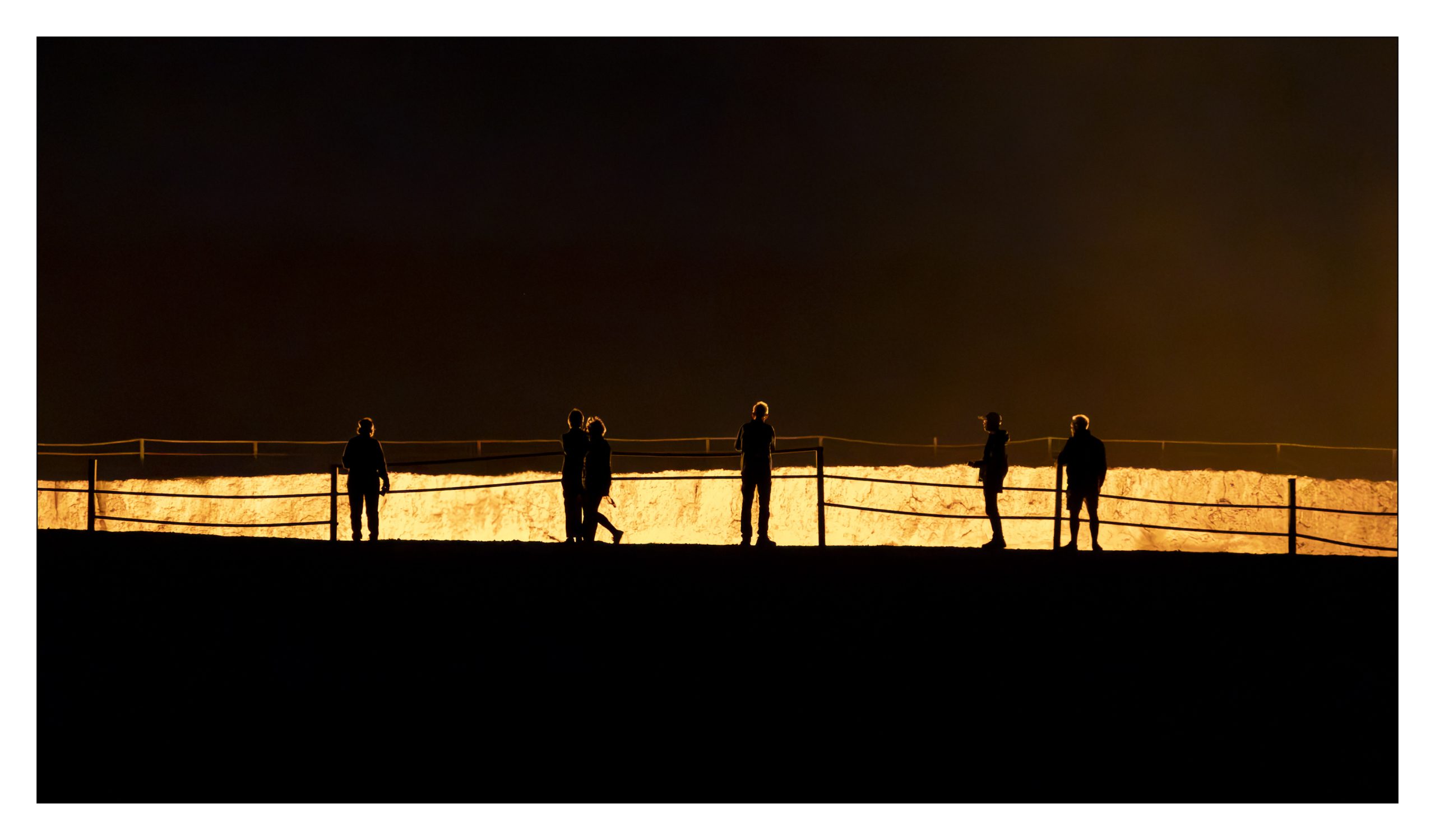
There are three subsets of images in today’s collection, To and From Crater, Erbent, The Crater
Footnotes
[1] – Quoted from https://www.smithsonianmag.com/travel/giant-hole-ground-has-been-fire-more-40-years-180951247/
[2] – Excerpted and quoted from https://en.wikipedia.org/wiki/Erbent
You are welcome to share a link to this page with others.
As always, all comments are welcome and sought.
Cheers, Sean
My note on privacy can be found under the “About” menu item, and if you would like to subscribe to this blog please enter your email.
.
All rights for all material on any and all media and technologies reserved – © Sean P Drysdale 2017-2026
The industrial crater reminds me of the time a work buddy went on a tour of some oil and gas facilities somewhere in what is now Russia. They were driving out in the boonies, following an above ground oil pipeline when they came across a geyser of oil spurting up, then running away in a stream to disappear down a hole. He asked the driver where they were so they could report it. The driver said, “no, is landmark, we turn left and go 5 Km.”
3. What side of the road are they supposed to drive on? It looks very free form.
5. Are you sure you aren’t on Alberta highway 41 somewhere well north of Medicine Hat?
6. Except I guess not with camels around. Still, Alberta ranchers can be eccentric enough that one of them might have camels. After all, one of them built a stone castle not far from Oyen.
Tents. You’ve got to be kidding. I gave up on that years ago.