Dear Reader (2025-01-19)
The W Trek is shaped roughly like a flat-bottomed W. I walked the route from the W’s right side to its left side (east to west). In today’s post you and I will walk the relatively short distance from the bottom of the left leg to the top of that same leg.
Notes on Photos
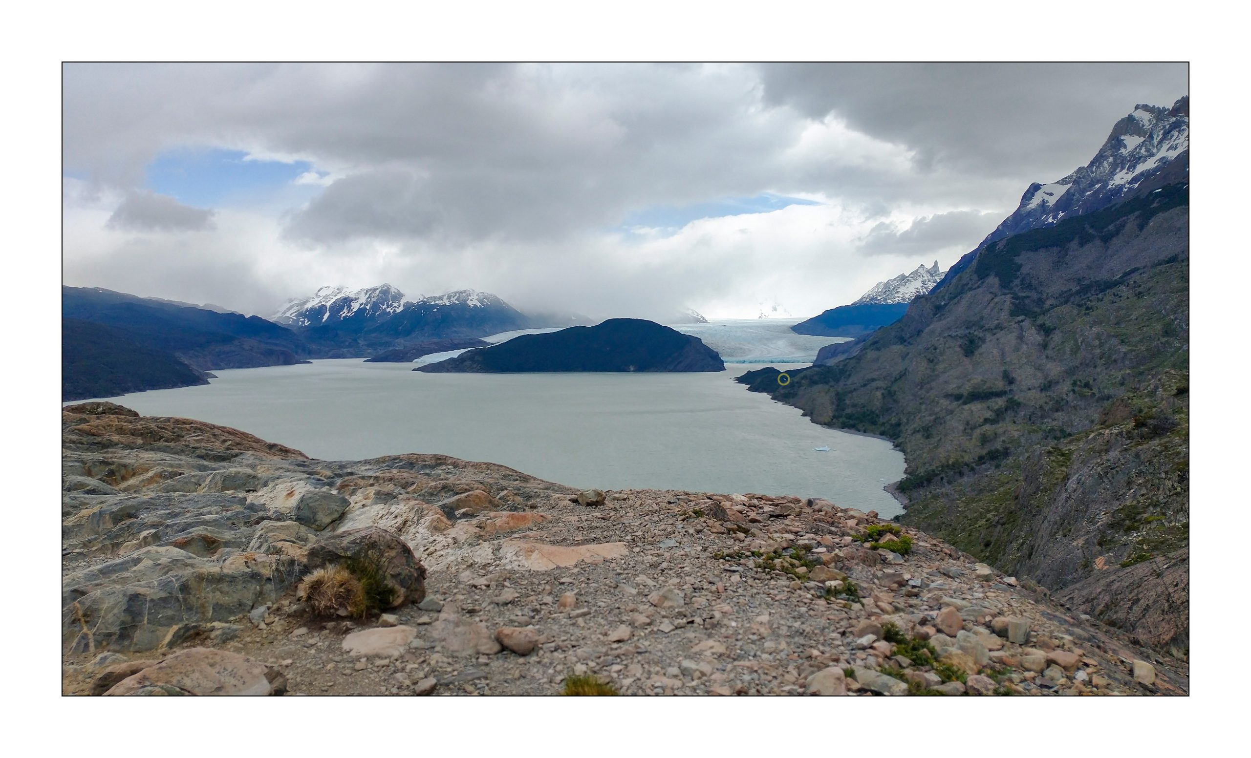
~ 1 – For a sense of scale, the distance from my location here, to a lookout where the 4th image was captured and back to my night’s accommodation (circled location – center right) is over 3 hours. This image also illustrates the idea that just because I can’t see the trail, doesn’t mean that it doesn’t exist. Oh, and the route is not along the lakeshore.
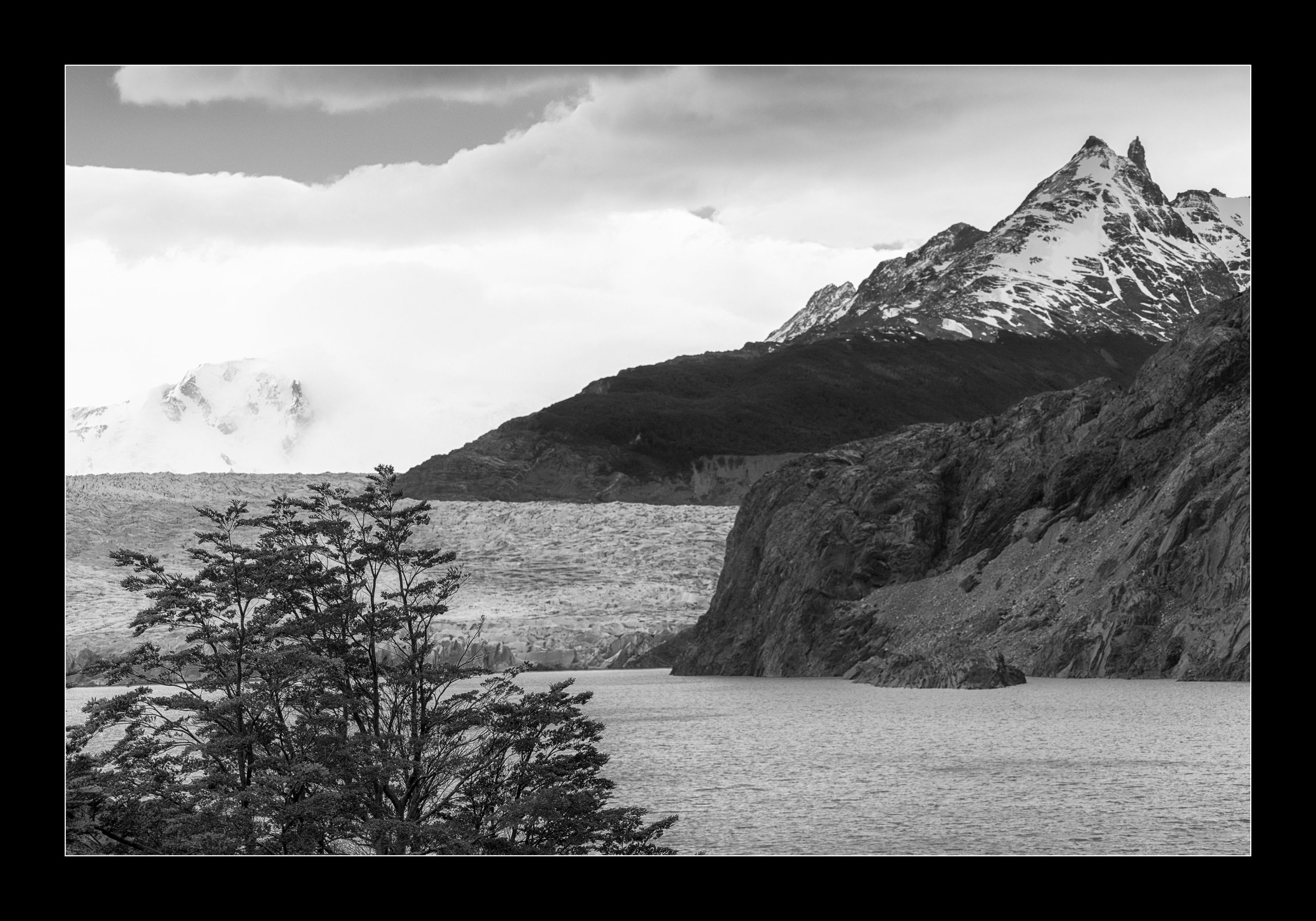
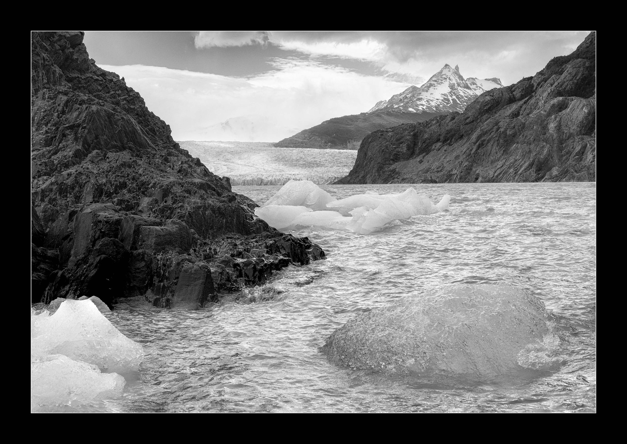
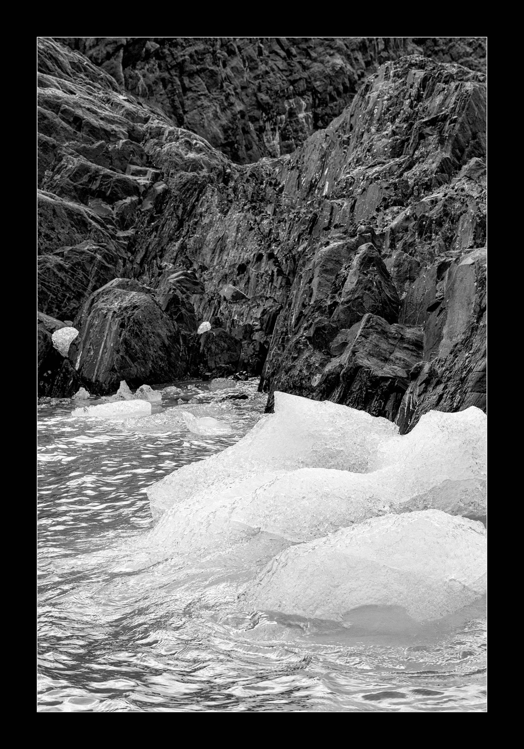
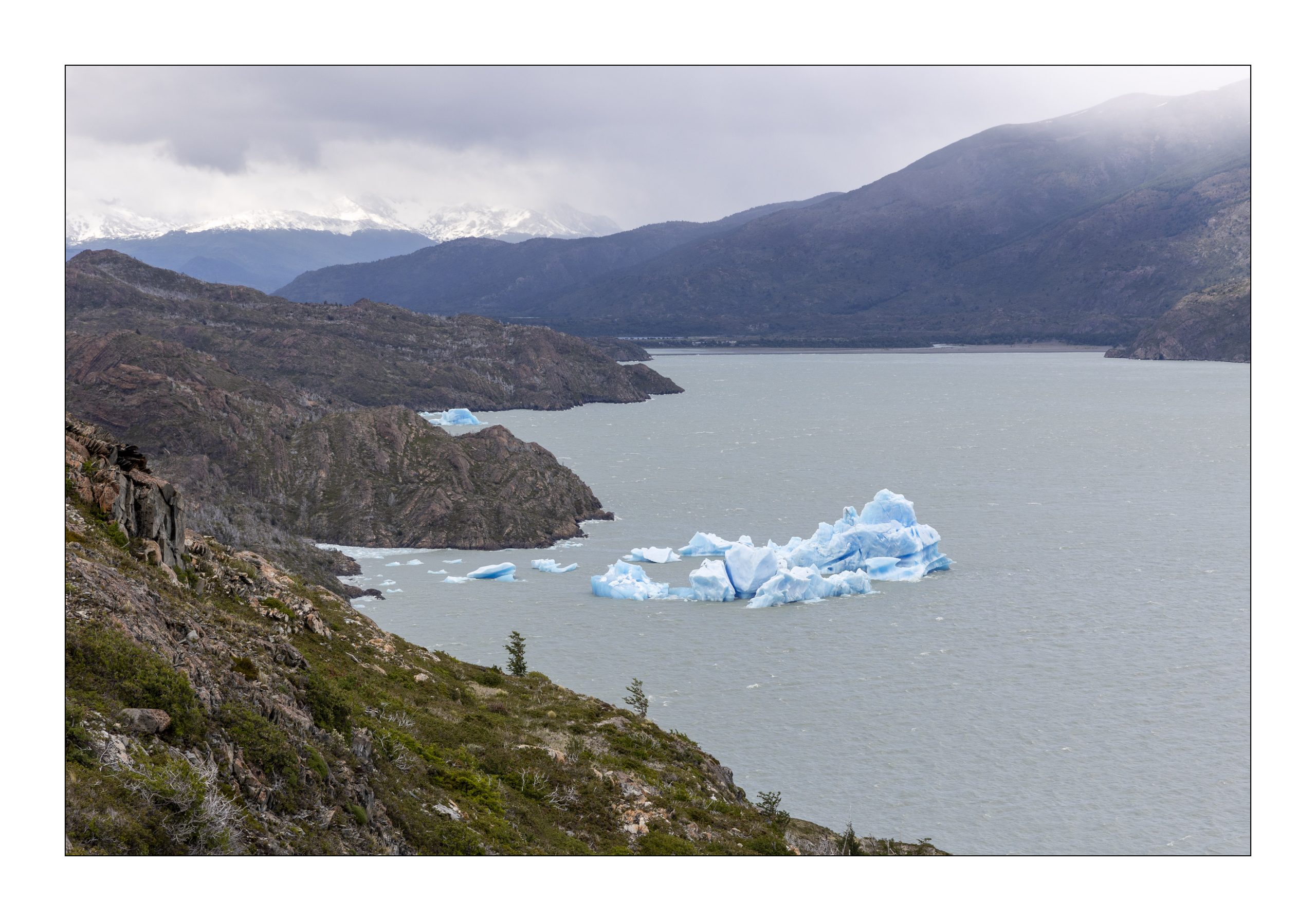
~ 1,2,3 – You and I are looking at a finger of the Southern Patagonian Field where it meets Lago Grey.
~ 1, 2, 3, 4 – Furthest, Far and Far, Closest
~ 5 – A slowly disintegrating iceberg in Lago Grey
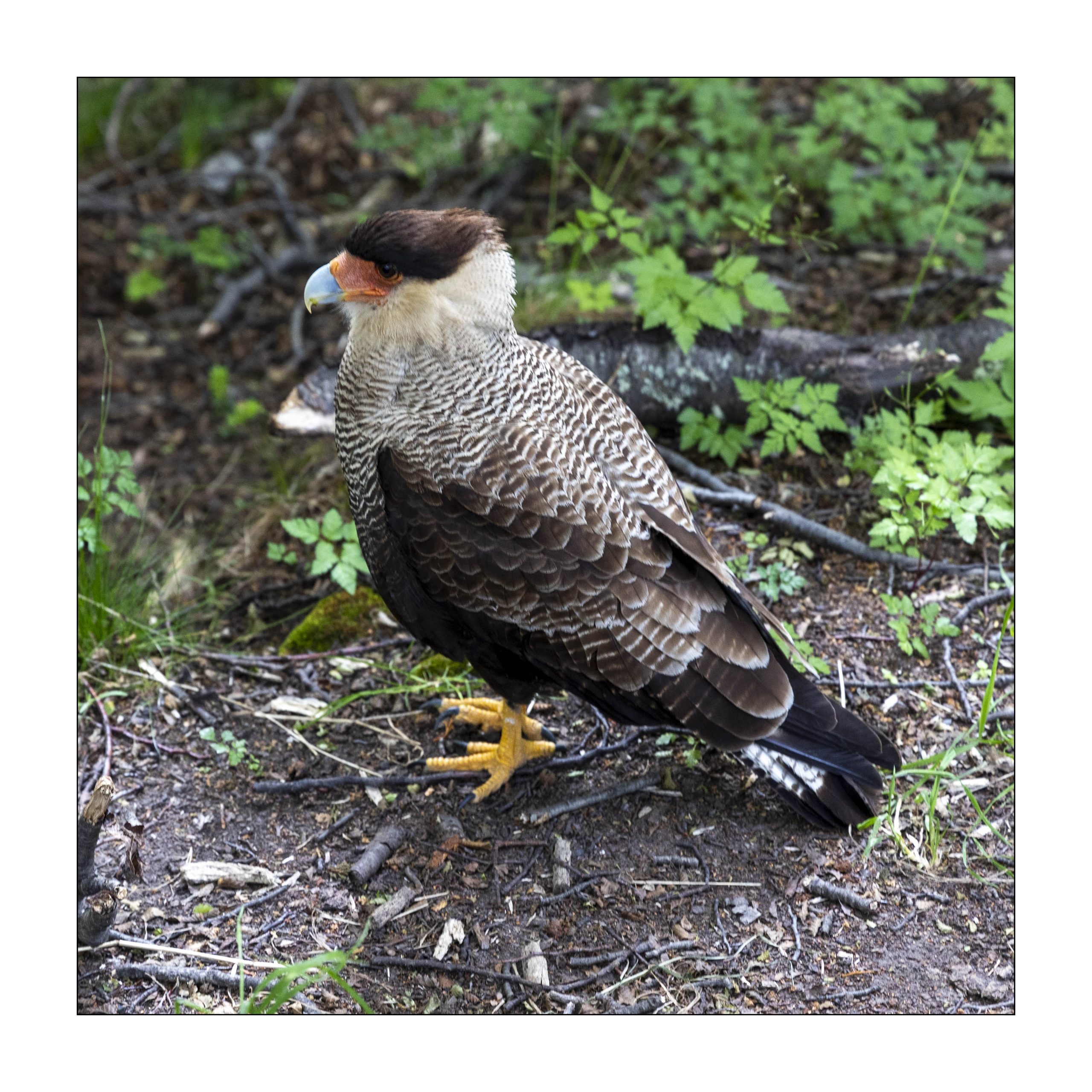
~ 6 – If a bird goes to the trouble of getting ready for its closeup I will oblige
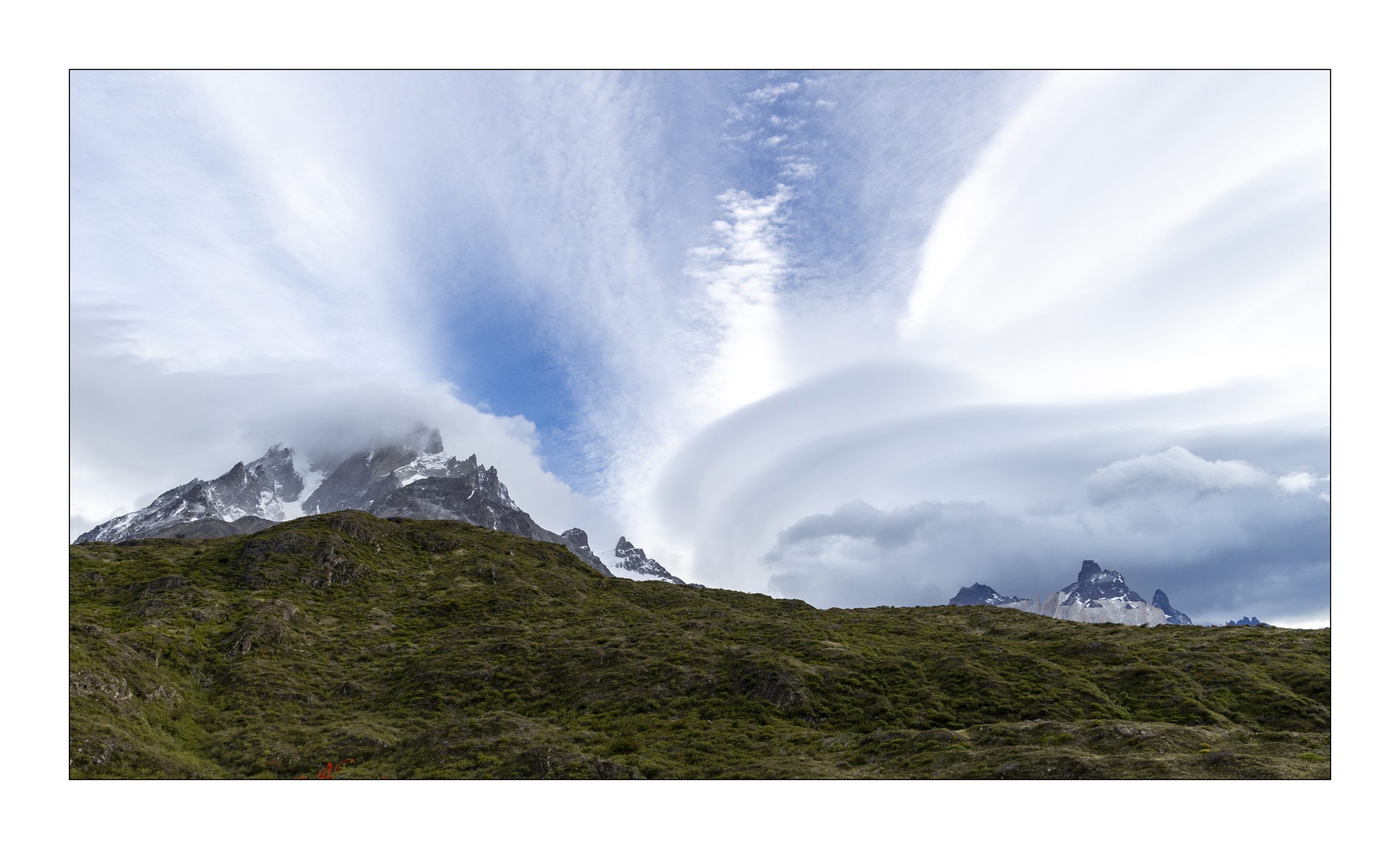
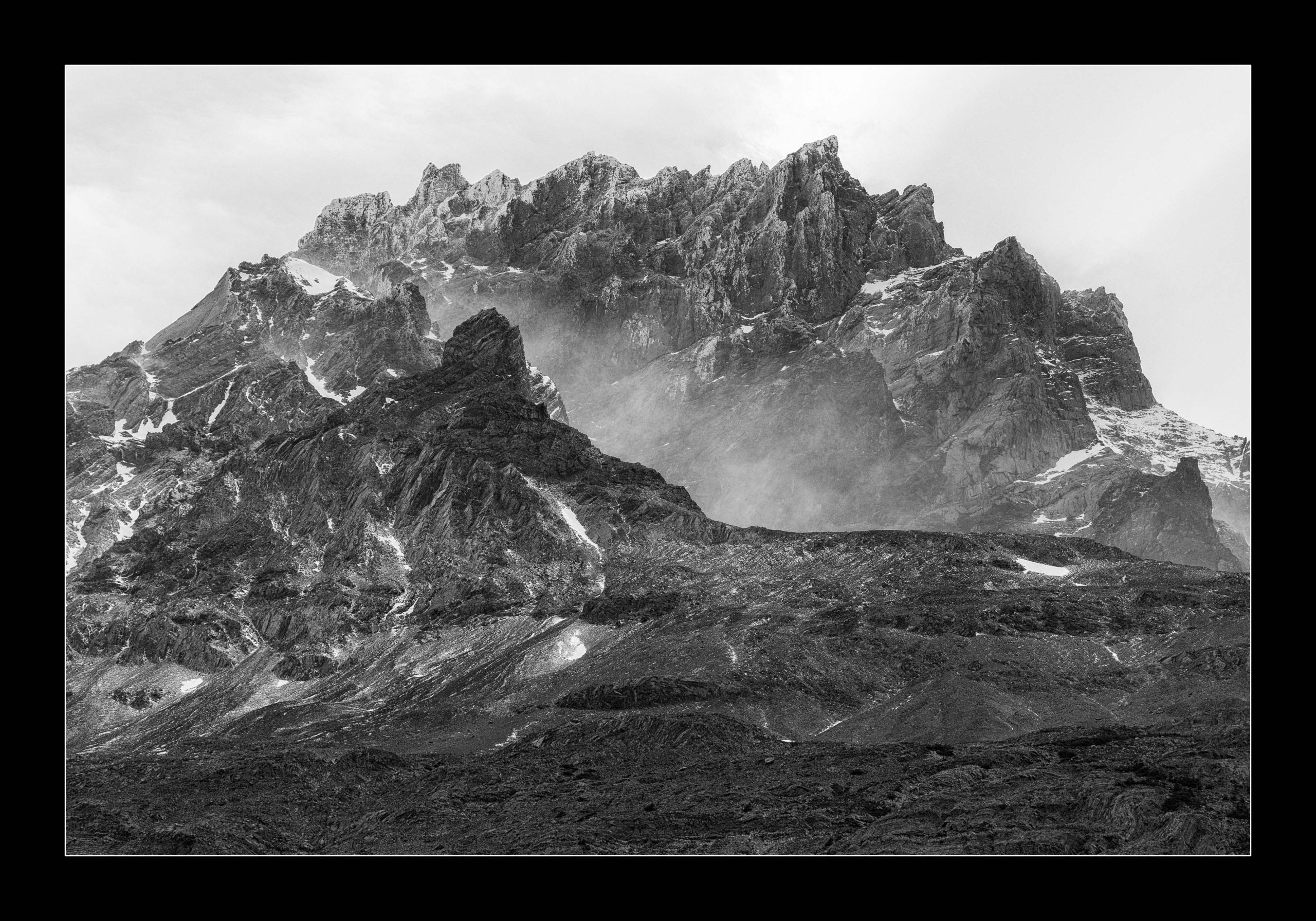
~ 7, 8 – Changeable weather
Distance 12k ish, Elevation Gain and Loss yes, point to point.

You are welcome to share a link to this page with others.
As always, all comments are welcome and sought.
Cheers, Sean
My note on privacy can be found under the “About” menu item, and if you would like to subscribe to this blog please enter your email.
.
All rights for all material on any and all media and technologies reserved – © Sean P Drysdale 2017-2026
1- I had gone straight to the photos without reading the text, and wondered what the heck that circle was. Eventually I went back to the text.
3- Looks cold. Love the translucent quality of that little berg in the foreground.
4- A study in texture.
6- I, too, will take a photo of a bird if it poses nice.
7- Love the clouds! Normally you only get that sort of cure in a really wide panorama.
8- Just lovely!
Thank you for visiting and commenting.